
2008 South Lake to North Lake (part 1)
As we emerged at the trailhead at the end of our easy backpack with friends in 2007, we ran into a group doing the challenging “Classic South Lake to North Lake Loop.” Our friend John was especially inspired by their adventure and suggested that our group should try that loop next year. Sue and Ton had done the loop in 1993 and agreed that it was one of the most scenic and inspiring trails in the Sierra Nevada. However, it was also one of the more challenging on-trail routes, with three passes of about 12000 feet (Bishop Pass, Muir Pass, and Piute Pass) and drops of thousands of feet between the passes. And we were now 15 years older. None the less, we all decided to get in shape as much as possible and give it a go in 2008.
What follows is a diary of our adventure. We have split the trip in two parts. Below is part 1. Skip to part 2 here.
Monday 4 August – South Lake to Middle Dusy Basin
Tuesday 5 August – Middle Dusy Basin to Big Pete Meadow
Wednesday 6 August – Big Pete Meadow to Wanda Lake




















4 August 2008 South Lake to Middle Dusy Basin
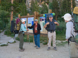
We’re all up early at our rental cabin at Parcher’s Resort. We eat our breakfasts load our backpacks into the cars of two friends, who have generously agreed to drive us to the trailhead at South Lake after helping with a car shuttle the evening before at North Lake. We say our goodbyes to those not hiking with us and put on our packs. John and Lynn’s packs look pretty hefty with their instruments (guitar and ukelele) strapped on top.
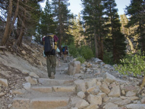
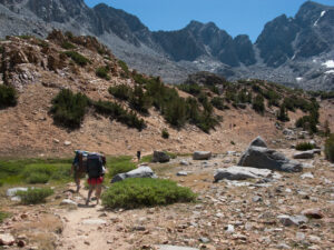
From the trailhead, it is all uphill, at least to the top of Bishop Pass. Luckily, the day is sunny but cool as we start out a bit after 7am. We angle uphill as we trudge around the side of South Lake until we reach the John Muir Wilderness border near the end of the lake then continue upward through the trees.
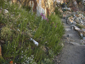
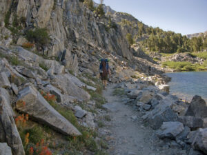
When we reach Long Lake, we’re ready for a rest and snack stop. Then we have a bit of respite as the trail levels out along the lake and can enjoy the masses of Penstemon, Indian Paintbrush and other wildflowers lining the lake and trail.
At the end of the lake the climb resumes in full force to reach the plateau containing Saddle Rock Lake and Bishop Lake in their rocky red bowl far below Bishop Pass. We eat a bit, standing, but we wind up not taking the planned longer rest stop at Bishop Lake before heading up the pass. We don’t even hang around long enough to take a photo of the lakes.
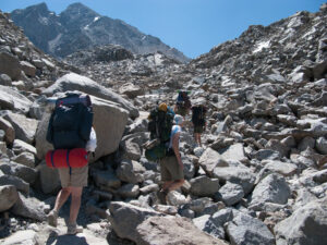
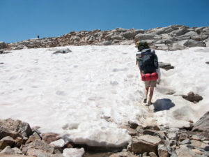
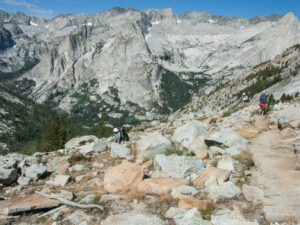
The switchbacks to the pass loom ahead through a rocky slide area with a posted sign which says that this part of the trail is “unstable.” Hmmmm. But the rock jumbles are lying still at the moment and we really don’t have any choice anyhow. So onward and upward, perhaps a little faster than we were planning. For most of the way up the rocky switchbacks there are increasingly spectacular views out over the lake basin (but apparently, we didn’t have enough breath to take photos!) Then finally the trail crosses over to the back side of the peak to make the final ascent to the pass. Of course, we’re all feeling the altitude a bit as we are near 12,000 feet and the guitar and ukulele are starting to feel much heavier on Lynn and John’s shoulders. Luckily, it has been a dry year and we only need to cross a couple of small snow fields (carefully, in each other’s’ footsteps) to reach the top.
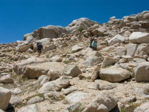
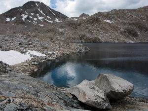
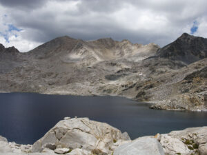
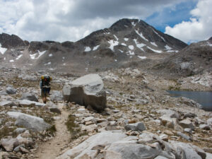
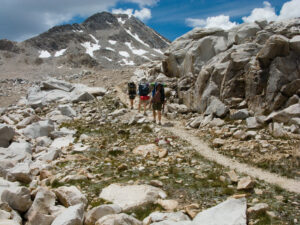
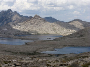
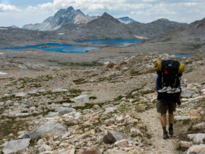
After photos and a short rest, we head down into Dusy Basin, which looks much drier than in 1993, which was a very heavy snow year.
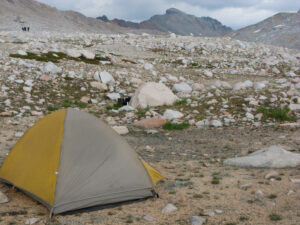
In Middle Dusy Basin we leave the trail at what we hope is the turnoff to the lake where we camped the previous year and hope to camp again. We find the lake and start settling in. With just a bit of prowling around, John finds the spot where he had set up his granite kitchen the previous year. With a little refurbishing, he’s back in business again. We’re amazed that we managed to get over Bishop Pass and down to our camp in the early afternoon.
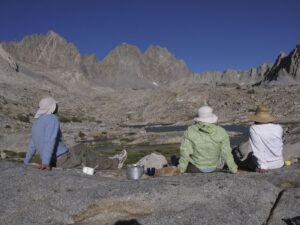
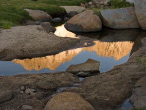
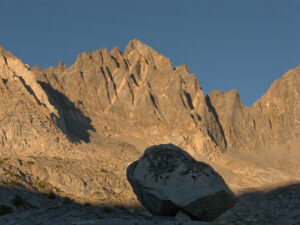
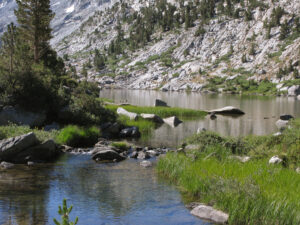
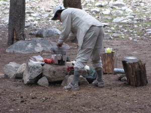
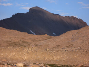
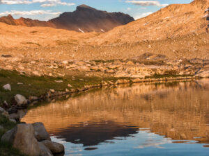
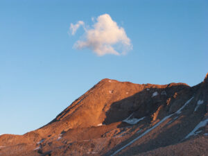
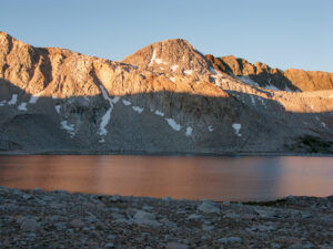
We spend the rest of the afternoon setting up the tents, pumping water, lounging, exploring the area and listening to some guitar and ukulele music courtesy of John and Lynn. After John’s superb Pot Roast and Stroganoff dinner, we have time to enjoy the mountain peaks – particularly jagged Mt Agassiz -plus flowers and golden sunset reflections in the many ponds around the lake. Then we’re ready to crawl into our sleeping bags.
5 August 2008 – Middle Middle Dusy Basin to Big Pete Meadow
We awaken to bright blue clear skies. With the first day and Bishop Pass behind us and a downhill day ahead of us, we’re thinking that it will be easier going than yesterday, but of course we are wrong (and should have known that from earlier experience). Nothing like a long climb with full packs the day before to sap your energy the next day, and not to mention sore hips, knees and shoulders.
We get up in plenty of time for an early start and head down through Dusy Basin to the lake chain in Lower Dusy Basin, pounding down lots of open granite with views of the peaks on the far side of deep Le Conte Canyon. We also see the first few clouds building up above the peaks – never a good sign if it is already happening in the morning. We stoop to pump water, snack and rest briefly at Lower Dusy Basin Lake at the place where we camped the year before. We see a grouse on a rock near the end of the lake.
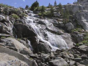
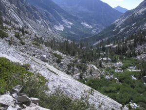
The trail just as the level basin ends is lined with yellow flowers. Then we begin the steep, rocky switchbacks down into LeConte Canyon, which will ultimately mean dropping almost 3000 feet from our camp last night. The trail is not friendly for the “height challenged” with what seems like an unending series of big, joint pounding steps down over rocks, roots, and other obstacles. And somehow our joints don’t seem to have as effective shock absorbers as they did in 1993. We stop at the bridge part way down the wall into LeConte Canyon for a drink and have great views of the waterfall coming down from Dusy Basin into the canyon. We get glimpses up LeConte Canyon in the direction of Muir Pass, which is hidden from view by various ridges. As we hike further, our trail switchbacks away from and then back to water sliding down over smooth granite from Dusy Basin above.
Our original plan was to have lunch at our planned camp at Big Pete Meadow, but as we nearly reach the canyon floor, hunger and fatigue catch up with us and we stop to eat just short of the junction with the John Muir Trail. After lunch we turn onto the John Muir Trail heading north. We see part of Little Pete Meadow with the Middle Fork of the Kings River winding lazily through it below us. We’ve just got a mile to go and about 500 feet of climbing to reach Big Pete Meadow. But since none of us have ever camped there (and I don’t even remember seeing the meadow when Ton and I passed through there in 1993), it may be a challenge to find a campsite.
As we near what we think must be Big Pete Meadow (but where is the meadow? We just see lots of trees), we start going briefly off trail at each more open area to check if it is big enough/clear enough for our tents and near enough to water. No, nope, and no. All that tromping steep downhill and over jarring rocks has taken its toll on everyone: Lynn and John are wondering about the wisdom of having brought along the extra weight of their instruments, Chris has to trudge along with the full weight of a two-person tent, and Ton and Sue are just plain tired.
Finally, we spot a small use trail heading off to the left. While the others wait, Sue goes down the sloping path and, bingo, there is an open flat area that obviously has been used by others with plenty of room for our tents, lots of convenient downed logs, a fire ring, and water nearby. Later we find that a ranger work crew has a camp even further back in this area, though we can’t see or hear them from our spot.
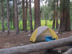
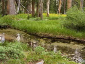
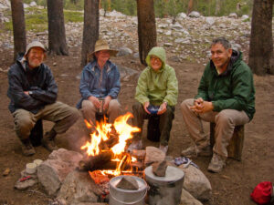
Finally, we can make camp and take care of the usual camp chores: pumping water, washing, resting and soaking our dehydrated food for dinner later. Our camp is in a beautiful spot under forest cover not far from the meadow and a narrow side stream of water with a handy log over it. The trees are encroaching on the meadow and it is filled with tall grass and wild flowers. John and Lynn whip out their instruments for some music while the dinner pots get put on our stoves: “Teriyaki” beef and vegetables served over angel hair pasta plus dessert. After all the work today, we easily eat to the bottom of both pots. It is a little concerning that there are still clouds in the sky, but for the moment, we are sheltered in our forest campsite and the altitude is low enough to enjoy a wood fire in the existing fire ring.
6 August 2013 Big Pete Meadow to Wanda Lake
As we get up, the sky is thickly dotted with clouds; an ominous sign so early in the morning since we have to go over 12,000-foot Muir Pass. Not much shelter in the high reaches of today’s route. Privately, Sue is thinking that we might actually have to stay at Big Pete Meadow an additional day, but that would really blow our planning and, for the moment, she says nothing. We’ve all decided to get started early, as we have 3000 feet to climb. We manage to leave camp about 7 am after all, under somewhat improved skies though the early morning light is a cold blue. But after we’ve walked about 15 minutes, John realizes that he has left one of his water bottles back at our last camp. He dumps his pack and hotfoots it back to retrieve his bottle while the rest of us relax and wait for him to return. It isn’t a big delay, but we have lost a bit of our early start. But that doesn’t seem to be a problem. Then we cross over a minor creek and head canyon upwards.
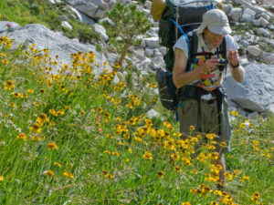
In the mean-time the sky has become mostly blue and when we turn around, we get views back to Big Pete Meadow and further down LeConte Canyon. Waterfalls and boisterous cascades are plentiful as we head up canyon. We have to pass through a section of trail which has been blasted out of the side of the cliff high above the river. Ton stops to take photos of Black-eyed Susan’s lining the trail, and things are looking more upbeat. Much of the rest of the morning we hike ever upwards through the canyon, paralleling the stream or winding up and over cliffs which drive us away from the stream or make us cross to the other side. In the distance we see lots of high peaks, though we can’t yet see the pass because of all the bends in Le Conte Canyon. There is no shortage of lakelets to stop at, and we find a comfortable, grassy area just after a creek crossing to eat our lunch and get some much-needed rest after all the climbing. Everyone is already talking a lot less, contemplating the amount of work we still have to do to get to the pass. And the clouds seem to be returning up canyon.
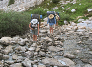
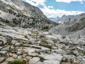
We can see that there is some snow up ahead, but much less than when we (Ton and Sue) did the route in 1993. There is a long beautiful section where the rocky trail is directly next to the rushing water before it climbs up and around obstacles to reach the next basin along the canyon. We’ve left the trees behind long ago, but the grasses and flowers between the rocks help to soften the stark mountain scenery. Looking back, we are long past the point of seeing Big Pete Meadow and see instead the rocky, twisting granite mounds and walls of the canyon with the water snaking through. We walk up through a dry, talus-filled gully that in 1993 was covered with snow and dangerously hiding melt water underneath.
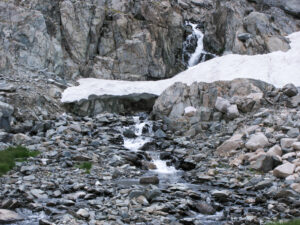
We have to traverse across a steep snow slope. We walk in each other’s footsteps to have as much of a shelf as possible to stand on, but it feels precarious and the slightly melting snow combined with some icy crust is slippery.
Then climb steeply further up through the rocks with views back to one of the many lakelets. There are many different types of rocks, some with colorful minerals in curious patterns.
We finally reach the Lake Helen basin and traverse around the lake on dry trail. We now have spectacular views of the peaks surrounding the pass, of some snowfields and, unfortunately, of the ominous clouds that are gathering there.
But tired as we are, we are now in sight of our goal, and we should be able to make it. In 1993 we faced a gigantic sloping snowfield in front of the final approach to the pass, but now the trail is dry. A few more switchbacks and we are at the top and sitting on the stoop of the Muir Hut atop the pass. We take a look inside the hut – empty except for a place to build a fire. The view back over the Helen Lake basin is stunning with sunlight alternating with dark shadows on the high peaks around it. It’s fantastic to be back again at the top of this historically significant pass which bears the name of the founder of the Sierra Club (Helen Lake and Wanda Lake are named after John Muir’s daughters). Time for a group photo and a short rest; then we strap our packs back on and head down the pass towards Wanda Lake just ahead of the darkening clouds and rain. Luckily, the hike down to Wanda is much gentler than the hike up to the pass from Helen Lake, but the quickly shifting shadows as the clouds race across the sky create an eerie atmosphere. At the bottom of slope below the pass, we cross over gravel and stones in the water streaming between Lake McDermand and Wanda Lake.
Once we arrive at the shore of Wanda Lake, the challenge is to find a clearing flat enough and free enough from big rocks to pitch our tents. Sue tries to find the dry wash near the beginning of the lake where we had camped in 1993, but because the snow conditions and lake level are different, she can’t find the spot. As usual, when you think you are at your destination, every extra step you take to find a campsite seems to take more energy than you’ve got left. We parallel the lake and finally, about half way down the length of the lake, we find a spot where the pebble-size gravel looks small enough to pitch our tents and for us to be able to sleep.
No sooner do we get our tents pitched than it begins to rain. There is just enough time for me to put the dehydrated vegetables and meat from our stamppot dinner into the pot to soak. No one is unhappy about diving into the tents and resting; we’re all pretty tired and the temperature outside has really dropped. Our bear canisters and the pot with the soaking food are about 50 feet away from my tent, so now and then I rush outside in the cold to give the food a stir and race back into the tent. A little later, the others decide that it would be better if the pot were near one of our tents so that someone can chase away any bears! So suddenly the pot is delivered to our tent door. Well, at least Sue doesn’t have to go far outside to stir it any more.
After a good rest, the rain stops and the clouds begin to break up. We light the stove and cook the stamppot vegetables and add the powdered mashed potatoes. Actually, there aren’t enough potatoes to make the stamppot as thick as we planned because we’ve added so much water, but it still tastes good and we need the extra fluid after our long hike. We all dig into our food around the stove except John, who prefers the comfort of his tent, having carried quite a bit of extra weight up the pass, including both his guitar and at the end, Lynn’s ukulele.
After dinner we head to the lake edge to pump water and enjoy a spectacular sunset as the clouds from the rainstorm dissipate. We thought we were totally alone in the Wanda Basin, but at the lake edge a young backpacker joins us for a chat. After the last light disappears, it’s back into the tents for what we hope is a good night sleep, which can be tricky in this thin air.
Continued in Part 2